

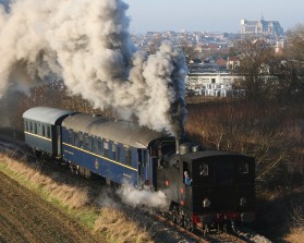
History and description of our line, built over 150 years ago. At a maximum speed of 18.6 mph, enjoy a getaway to the countryside leaving from the city !
| History |
|---|
The line has existed for more than 150 years, the section between Saint-Quentin and Origny-Sainte-Benoîte being opened to passengers on May 23, 1874, Guise being reached in the following year. At that time, the line was the first link in a vast network of secondary railways that would extend to Vendeuil, La Ferté-Chevresis, Vervins, Ham...
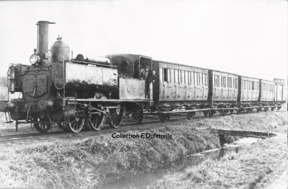
Heavily used before 1914, with more than 600,000 passengers journeys per annum, 9 daily round trips and a heavy freight traffic, by the end of the First World War the line had been completely destroyed and had to be rebuilt . Between 1951 and 1981, it was operated by the Régie des Transport de l’Aisne (RTA), passenger traffic by railcar between Saint-Quentin and Origny-Sainte-Benoîte ceasing on 28 june 1966. Now owned by the Hauts-de-France region to provide the Tereos sugar refinery-distillery in Origny with a rail connection, the line is maintained by SOCORAIL (Europorte group). The Vermandois Tourist Railway is proud to contribute since 1979 by maintaining a regular tourist railway activity on one of the oldest secondary railway lines in France still active !
| The line |
|---|
- Departure from Saint Lazare platform at 1.2 km (from Saint-Quentin main station)
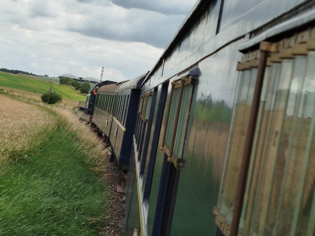
We start our journey from the Saint-Lazare valley, a small industrial area on the border between the communes of Saint-Quentin and Gauchy. The gradient allows the line to climb from the Somme valley to the Picardy plateau. Leaving the Saint-Quentin agglomeration , we cross the "Pont de Guise", from where, looking to the left, we have a view of the city of Saint-Quentin and its beautiful basilica.
Bordered by poplars, the gradient steepens before it reaches the summit of Neuville-Saint-Amand. The line descends then starts climbing again to reach Itancourt, which, at an altitude of 112 m, is the the highest point of the line, which here crosses the watershed between the Somme and the Oise rivers.
- Itancourt station at 5.8 km
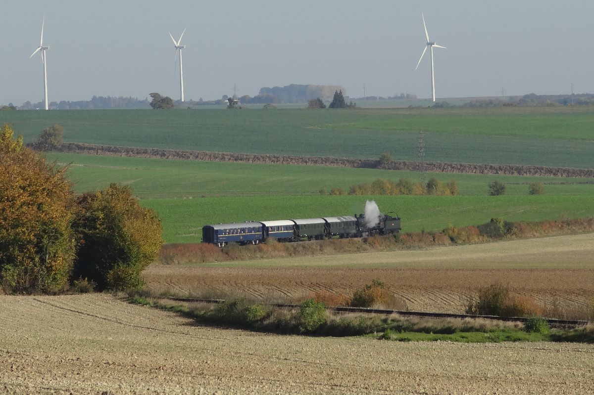
The factories visible on the right bear witness to a recent development of the agri-food industries in our region. On leaving Itancourt village, and in very good weather, one can see Laon cathedral aligned with the track in front of the train, even though the cathedral is 33 km away. Our train is now descending into the Oise valley on a long gradient of 1.5% (1 in 67) which is a record in our region. We pass through a landscape dominated by crops of wheat, barley and beets.
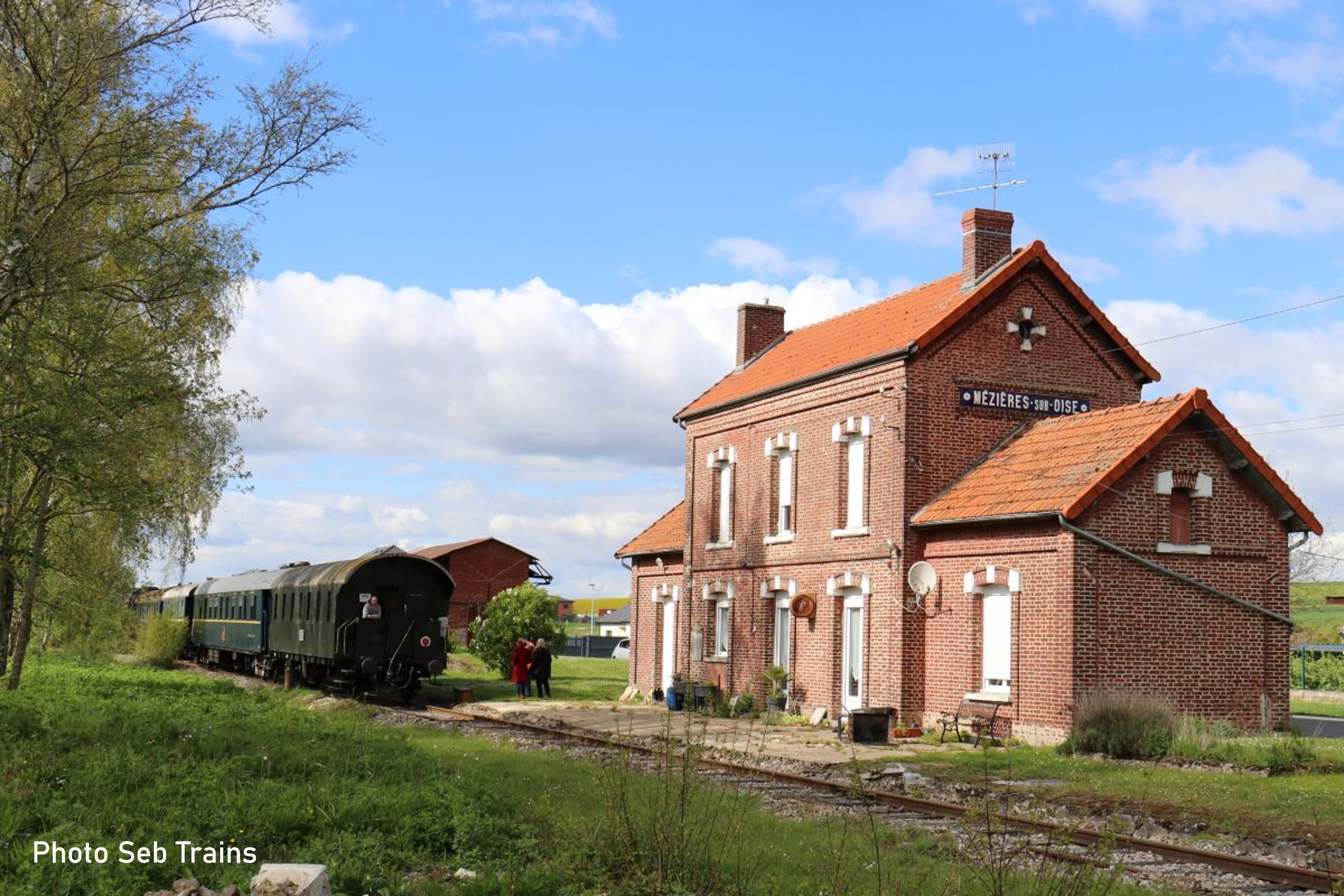
- Stop at Mézières-sur-Oise station at 10.9 km
The line now reaches in Mézières-sur-Oise whose station retains its bucolic and old-fashioned appearance leading to its use in films (Vipère au poing in 2004, FR3 TV movie on Arletty...). This charming village used to attract whole train-loads of fishermen and their families for a day out on Sunday. It has remained a holiday resort, with many second homes.
Here the train will wait for a few minutes before setting off on the return journey to the Saint-Quentin. so passenger should listen for the French phrase ‘Attention au départ !’ which alerts passengers to be ready for departure !
Please visit other parts of our website to learn more about our association, its history and the items of railway heritage in our care :
- Follow us on our Facebook page (in french)